





Green Canyon
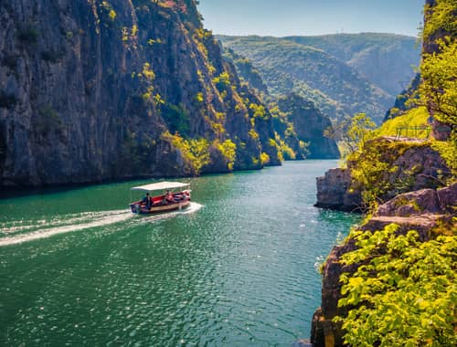
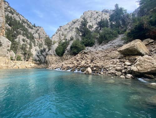
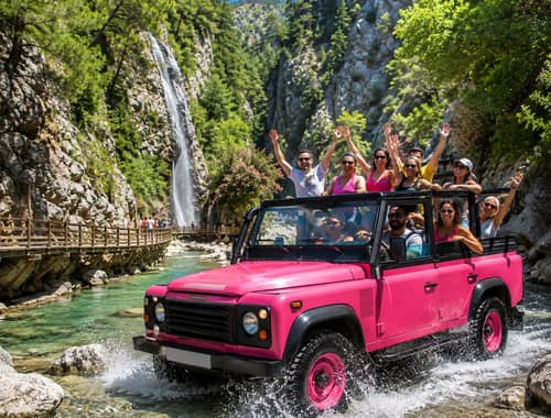
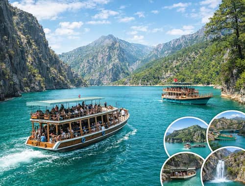
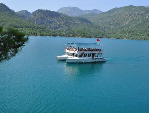
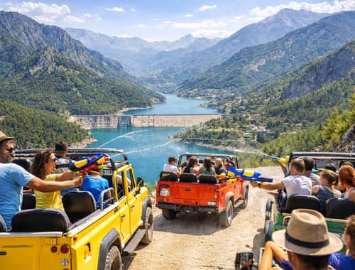
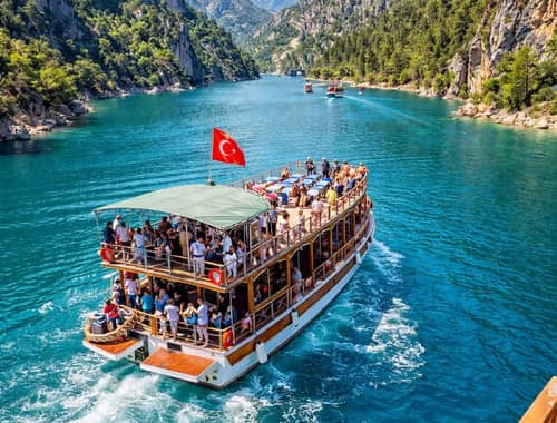
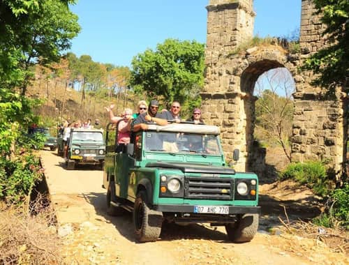
From Antalya: Green Canyon Boat Tour with Transfer and Lunch
Free Cancellation Free Shuttle
From £34.52 £30.66 Per Person



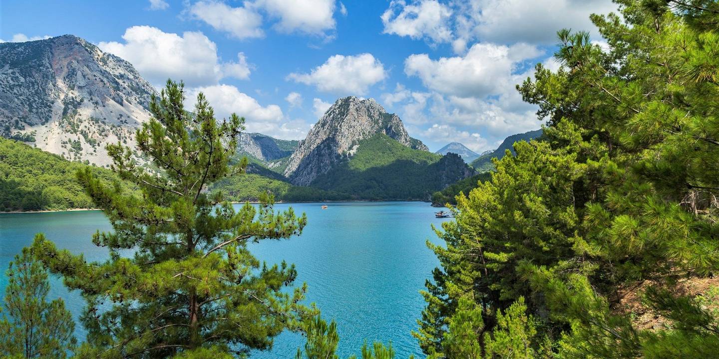
Manavgat Dam is an earth-fill dam and hydroelectric power plant on the Manavgat River in the Manavgat district of Antalya. Commissioned in 1987 and located approximately 10 kilometres north of central Manavgat, the facility contributes to the region’s water management through electricity generation, flow regulation and flood control. The dam is approximately 29 metres high, has a crest length of around 360 metres and contains a 48 MW hydroelectric power station. Its average annual electricity generation is listed at approximately 220 GWh. The reservoir also attracts attention for its green river-valley setting and views from elevated points in the surrounding area. Manavgat Dam is not a conventional visitor attraction with a regular ticket office, official viewing terrace and fixed tourist opening hours. The dam and power station are operational and security-controlled areas; visitors should remain on permitted public roads and safe viewpoints and never enter restricted zones. Anyone looking for a boat tour should also note that Manavgat Dam and the Green Canyon route at Oymapınar Dam are different places.
Tours and trips that go here, run by licensed local operators.
Manavgat Dam is on the Manavgat River in Antalya’s Manavgat district, approximately 10 kilometres north of the town centre. From central Manavgat, travel north towards the dams and Oymapınar, but make sure your navigation destination specifically says “Manavgat Dam and Hydroelectric Power Plant”.
The main transport options are:
Approximate distances:
| Starting point | Approximate distance to Manavgat Dam |
|---|---|
| Central Manavgat | 10–15 km |
| Manavgat Waterfall | 5–10 km |
| Central Side | 15–25 km |
| Central Antalya | 75–85 km |
| Antalya Airport | 65–75 km |
Distances vary according to the route and exact starting point. If navigation opens a result for Oymapınar Dam, Green Canyon or Naras Dam, it may be directing you to a different location.
Manavgat Dam is an earth-fill structure built to generate hydroelectric power and regulate the flow of the Manavgat River. Construction took place in 1986–1987, and the facility was commissioned in 1987.
| Technical feature | Information |
|---|---|
| River | Manavgat River / Manavgat Çayı |
| Dam type | Earth-fill |
| Commissioned | 1987 |
| Dam height | Approximately 29 m |
| Crest length | Approximately 360 m |
| Reservoir surface area | Approximately 8.6 km² |
| Installed capacity | 48 MW |
| Average annual generation | Approximately 220 GWh |
| Main functions | Power generation, flow regulation and flood control |
Technical figures may differ slightly between sources because of measurement methods and rounding. The 48 MW capacity of Manavgat Dam should not be confused with the 540 MW figure for the Oymapınar hydroelectric power plant.
The landscape around Manavgat Dam can be viewed for scenery and nature observation, but the dam structure and hydroelectric power station are not freely accessible tourist attractions. Security gates, operating roads, energy facilities and restricted sections must remain outside any visitor route.
Things to know before visiting:
Plan Manavgat Dam as a short scenic stop viewed from surrounding public roads rather than a conventional attraction where visitors enter and tour the facility.
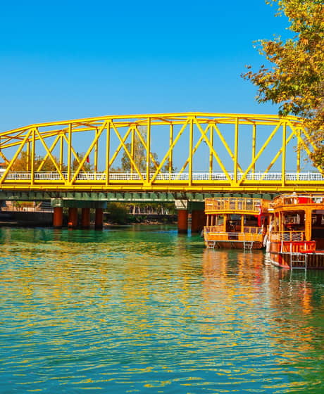
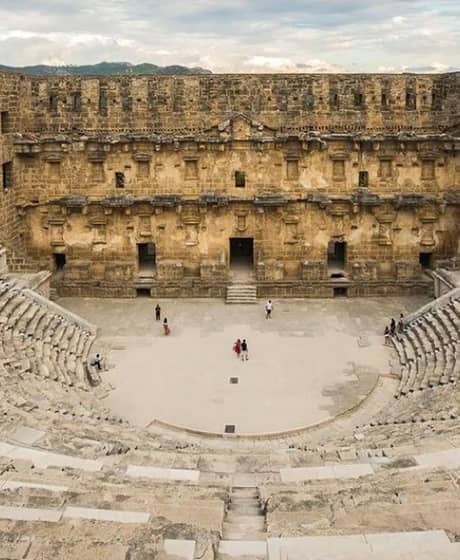
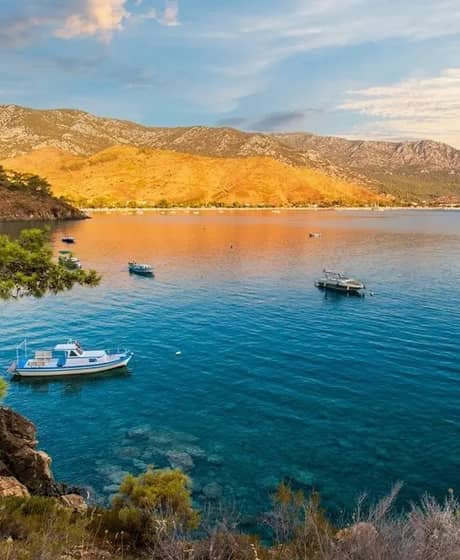
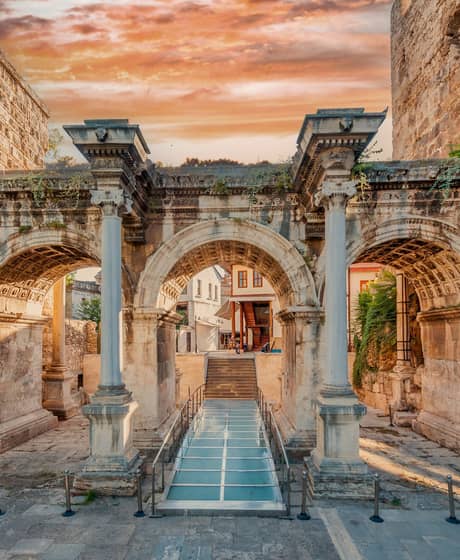
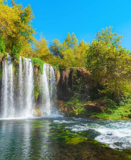
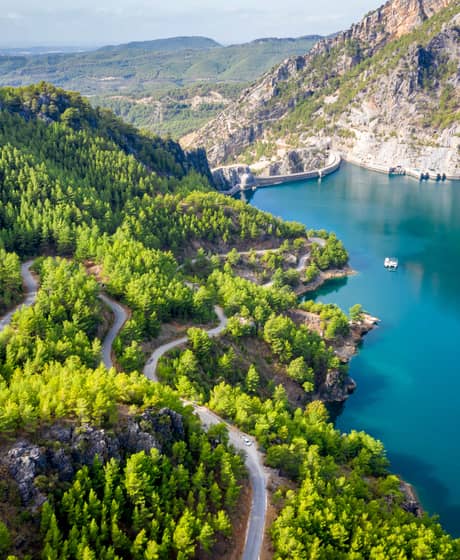
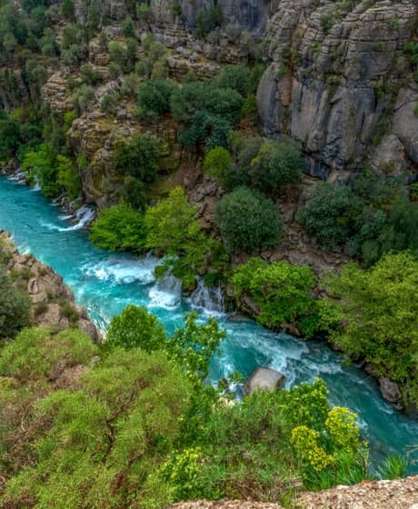
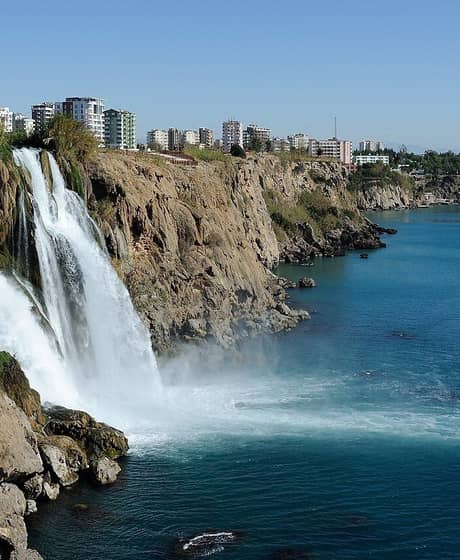
Manavgat Dam is the lower of the two major hydroelectric dams on the Manavgat River and has generated electricity since 1987. Its earth-fill body, 48 MW installed capacity and reservoir covering approximately 8.6 km² make it an important part of Manavgat’s water and energy infrastructure.
The most common problem when researching the site is confusion between Manavgat Dam and Oymapınar Dam. Oymapınar is the location known for Green Canyon, a high dam wall and regular reservoir cruises; this page focuses only on the downstream Manavgat Dam.
Manavgat Dam regulates the flow of the Manavgat River and generates hydroelectric power. Its functions include regulating peak discharges released from the Oymapınar power station, contributing to flood control and maintaining necessary flows farther downstream.
The dam contains a hydroelectric power plant with an installed capacity of 48 MW. It is therefore not merely a scenic artificial lake but an active energy and water-management facility.
Manavgat Dam is in the Manavgat district of Antalya Province, approximately 10 kilometres north of central Manavgat. It lies on the lower section of the Manavgat River between Oymapınar Dam and Manavgat Waterfall.
Selecting “Manavgat Dam and Hydroelectric Power Plant” in your map application is safer than searching only for “Manavgat dam”, which may also produce results for Oymapınar, Naras or the newer Çardak Dam.
Manavgat Dam is built on the Manavgat River, also known in Turkish as Manavgat Çayı. The river is fed by sources in the western Taurus Mountains, passes through Manavgat district and eventually reaches the Mediterranean.
From upstream to downstream, Oymapınar Dam, Manavgat Dam and Manavgat Waterfall all lie on the same river system. They are, however, separate places with different functions and visitor arrangements.
Manavgat Dam was constructed between 1986 and 1987 and commissioned in 1987. Its main purpose is to regulate river flow while producing electricity and helping to maintain water availability downstream.
The dates 1977–1984 seen in some search results refer to the construction of Oymapınar Dam farther upstream, not Manavgat Dam.
Manavgat Dam and its hydroelectric power station are part of Türkiye’s public energy infrastructure, and the plant is listed among hydroelectric facilities associated with EÜAŞ. Water management, electricity generation and security at dams may involve different public regulations and institutional responsibilities.
For this reason, do not rely only on old online comments when assessing visits, filming, fishing or entry to technical zones. Follow current official notices and signs at the site.
Manavgat Dam is approximately 29 metres high. Its crest is listed at around 360 metres long.
The relatively low, broad profile of Manavgat Dam differs significantly from the steep concrete arch of Oymapınar Dam, which is approximately 185 metres high. Many online photographs showing a very high, dramatic dam wall are actually images of Oymapınar.
The Manavgat Dam hydroelectric power station has an installed capacity of 48 MW. Its average annual electricity generation is listed at approximately 220 GWh.
Actual generation can change from year to year with river flow, rainfall, reservoir operations, maintenance and power-system conditions. The 220 GWh figure is an average project value rather than a guaranteed annual or real-time output.
The artificial reservoir formed by Manavgat Dam has a reported surface area of approximately 8.6 km². Because it extends along the river valley, it is difficult to see the entire reservoir from one location.
The surface area and shoreline can vary with the season, rainfall, electricity generation and dam operations. Old satellite images or photographs may therefore not reflect current shoreline conditions precisely.
The dam’s principal functions are generating hydroelectric power, regulating releases from Oymapınar and contributing to flood control. It also helps maintain downstream flows needed for irrigation, tourism, fisheries and other water uses when the Oymapınar power station is not operating.
Because the dam serves several operational purposes, reservoir levels and water releases are not managed solely around tourism or recreation.
Manavgat district has several dams of different sizes and purposes; the two principal hydroelectric dams on the Manavgat River are Manavgat Dam and Oymapınar Dam. Other facilities, including Naras and Çardak, are associated with different waterways, purposes or project scopes.
There is therefore no single answer to “Which dam is in Manavgat?” Check both the name of the structure and the river when planning a route.
No. Manavgat Dam and Oymapınar Dam are separate structures. Both are on the Manavgat River, but Oymapınar is farther north and upstream, while Manavgat Dam lies downstream and closer to the town centre.
| Feature | Manavgat Dam | Oymapınar Dam |
|---|---|---|
| Commissioned | 1987 | 1984 |
| Dam type | Earth-fill | Concrete arch |
| Approximate height | 29 m | 185 m |
| Installed capacity | 48 MW | 540 MW |
| Tourism name | Manavgat Dam | Associated with Green Canyon |
| Regular boat trips | Not a common standard product | Green Canyon cruises operate |
If content about Manavgat Dam mentions 540 MW, a height of 185 metres, Green Canyon or an Oymapınar boat tour, those details belong to the other facility.
No. Manavgat Dam and Manavgat Waterfall are separate places. The dam is an active energy and water-management facility, while the waterfall is a managed visitor area where the river flows over a broad natural rock ledge.
The waterfall is closer to the town centre and tourist services. Its current admission and access details can be checked separately in a dedicated visitor guide.
To reach Manavgat Dam, travel north from central Manavgat towards the river valley and dam area. A private car or taxi is generally the most practical option.
Check the navigation destination before setting out and do not enter closed operating roads. If access is refused at a security point, follow the instructions rather than attempting to find an alternative route into the facility.
The dam area is reached from central Manavgat using local roads heading north. Depending on your starting point, the route may pass through Şelale, Sarılar or nearby neighbourhood roads, and current navigation results can vary.
Confirm the name and coordinates of the destination on the map. Selecting “Green Canyon” will take you beyond Manavgat Dam towards Oymapınar.
Do not expect a guaranteed, regular tourist bus operating directly to the entrance of the technical facility. Local services may run to surrounding neighbourhoods, but the final section could require walking, a taxi or private transport.
Routes and timetables change, so check current municipal transport information in Manavgat. Do not get off at a remote point without confirming how you will return.
Manavgat Dam does not have a tourist ticket office or standard admission fee. No ticket is required simply to view the surroundings from public roads, but this does not give visitors permission to enter technical or security-controlled areas.
Separate charges may apply if you use private land, a paid activity, parking or a guided service in the wider area. Confirm current conditions locally.
Manavgat Dam does not publish fixed tourist visiting hours like a museum or organised archaeological site. The dam and hydroelectric facilities are managed according to operational schedules and security rules.
If viewing the scenery from surrounding roads, visit during daylight. Keep away from the shore and technical structures at night, in poor weather, during heavy rainfall or when water is being released.
There is no reliably confirmed, widely available scheduled tourist cruise on Manavgat Reservoir. Most products found online under searches such as “Manavgat dam boat tour” are either Green Canyon cruises on the Oymapınar reservoir or river trips on the lower Manavgat River near the Mediterranean.
Do not launch a boat without permission or enter operational areas. Before booking any cruise, verify its departure point and exact route.
Fishing at Manavgat Reservoir must be assessed under current recreational fishing regulations, seasonal and species restrictions and site-specific security boundaries. Fishing may be restricted near the dam body, power facilities, water-intake structures and marked security zones.
Closed seasons, minimum sizes and daily limits may apply to species such as carp. Before fishing, check the current recreational fishing communiqué issued by the Ministry of Agriculture and Forestry, notices from the Antalya Provincial Directorate and signs at the reservoir.
Although carp fishing is mentioned in connection with the reservoir, do not assume it is permitted at every location and throughout the year. Spawning-season closures, minimum size rules, rod limits and daily catch limits can change.
Do not fish near technical facilities, on private land or inside security zones. Verify current rules instead of relying only on old forum posts or video descriptions.
Manavgat Reservoir is not an organised swimming beach and visitors should not enter the water without clear authorisation and safe conditions. Sudden depth changes, muddy or slippery banks, submerged structures, currents, changing water levels and power operations can create serious risks.
Do not expect lifeguards, buoyed swimming areas, showers or a first-aid point. Never enter the water where swimming bans or safety warnings are displayed.
Picnicking and camping are not permitted inside the dam’s technical site; only clearly authorised public or private-use areas in the wider surroundings should be considered. A flat-looking section of shoreline is not necessarily public, and water levels may change.
Fire, barbecue and camping restrictions can apply during periods of high forest-fire risk. Do not enter private property, stay overnight where camping is not explicitly permitted or leave any rubbish behind.
The reservoir level changes over time and should be checked using reliable, dated information from an authorised institution. Rainfall, river flow, electricity generation and operational decisions all affect storage levels.
Search results may display undated or automatically generated percentages. Unless a current figure is available from DSİ or another authorised body, it is more accurate not to present a percentage as confirmed information.
Views of the reservoir and river valley may be available from permitted public roads and elevated points around the area. The best location can change with road conditions, security arrangements, vegetation and water levels.
Do not stop on a narrow road, cross barriers or enter private property for photographs. Plan the visit during daylight because lighting may be limited after sunset.
A trip around Manavgat Dam can be combined with the Manavgat River, Manavgat Waterfall, the town centre and, on a suitable route, the Oymapınar–Green Canyon area. Remember that these are separate places and require different access plans.
The main priority when visiting Manavgat Dam is respecting the security boundaries of an active energy facility. It is more realistic to plan a short scenic and geographical stop than to expect a conventional tourist attraction.
Our easy-to-use app offers a comprehensive listing of curated tours, activities, and experiences, all in one place. Whether you’re a thrill-seeker looking for an adrenaline-packed adventure or seeking a more relaxed getaway, Maxtoria has got you covered.





© 2026 Maxtoria Turizm Ticaret A.Ş. — All Rights Reserved
v2.1.2